Two pieces of the barrier island north of Indialantic are inside Melbourne's city limits, mostly in ZIP 32903 and zoned for Melbourne High, graded A.
Last checked Oct. 10, 2026. Sources: the City of Melbourne’s city limits map layer, Brevard County’s city boundary layer, Brevard Public Schools’ 2026-27 attendance zone layers, the Florida Department of Education’s 2026 school grades, Zillow Research and OpenStreetMap.
Most of Melbourne sits on the mainland, but the city’s boundary also crosses the Indian River Lagoon. On the city’s own map layer, two separate pieces of the barrier island are inside the city limits, between the Town of Indialantic and the City of Indian Harbour Beach. This page covers those two pieces. The beach towns around them, and the unincorporated land between, have their own governments.
What this means for you
- Zoned high school: Melbourne High for nearly every parcel, graded A in 2026.
- Home value: $561,259 in ZIP 32903 in August 2026, according to the Zillow Home Value Index.
- Nearest I-95 exit: Exit 183, Eau Gallie Boulevard, about 8.3 miles by road.
Part of our Melbourne neighborhoods guide.
Where it is
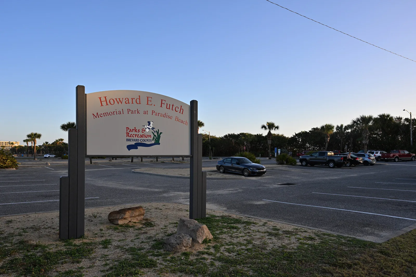
- The southern piece lies along Highway A1A and the lagoon shore around Paradise Beach, north of Indialantic. OpenStreetMap names the Rio Mar neighborhood inside it. Howard E. Futch Memorial Park at Paradise Beach and a Walgreens at 2200 N. Highway A1A are here.
- The northern piece sits along Eau Gallie Boulevard east of the Eau Gallie Causeway, next to Indian Harbour Beach. OpenStreetMap names Oceanside Estates / Oceanside Village inside it, and an Aldi at 961 E. Eau Gallie Blvd. is in this piece.
Together they hold about 1,900 land parcels on Brevard County’s parcel map. About 98% are in ZIP code 32903, a ZIP code shared with Indialantic, and the rest in 32937. A mailing address alone will not tell you which town a home is in; check the parcel’s city on the Brevard County Property Appraiser site.
Being inside Melbourne means city services and the city’s property tax rate. See our property taxes guide and trash and recycling guide.
Schools
From Brevard Public Schools’ 2026-27 attendance zone layers, with grades from the state’s 2026 school grades. Shares are of the land parcels in the two pieces:
| Level | Zoned school | Share of the area | 2026 grade | 2025 grade |
|---|---|---|---|---|
| Elementary (K-6) | Indialantic Elementary, 1050 N. Palm Ave., Indialantic | About 99.6% | A | A |
| Middle (7-8) | Hoover Middle, 2000 Hawk Haven Drive, Indialantic | All | A | A |
| High (9-12) | Melbourne High, 74 Bulldog Blvd. | About 99.6% | A | A |
A sliver at the northern edge is zoned for Ocean Breeze Elementary and Satellite High, both graded A. Melbourne High is on the mainland, across the Melbourne Causeway. Check any address with the district’s School Zone Locator, and see our schools guide.
Home values
The typical home value in ZIP 32903 was $561,259 in August 2026, up 2.8% from $546,184 a year earlier, according to the Zillow Home Value Index. It is a modeled typical value for the middle third of homes across the whole ZIP code, not a sale price, and most of 32903 is in Indialantic and unincorporated Brevard, not Melbourne. The figure for Melbourne as a whole was $356,996, down 1.0%. See our home prices guide.
Parks and the beach
- Howard E. Futch Memorial Park at Paradise Beach, 2301 N. Highway A1A, maintained by Brevard County Parks and Recreation.
- Millennium Beach Park is just north of the northern piece, in OpenStreetMap’s data.
More beach and riverfront parks are in our parks and trails guide, and storm preparation for the barrier island is in our hurricane prep guide.
Getting around
- City Hall: about 4.6 miles by road, across the Melbourne Causeway.
- I-95: Exit 183, Eau Gallie Boulevard, is about 8.3 miles by road and Exit 182, Ellis Road, about 9.9 miles.
- Airports: Melbourne Orlando International Airport is about 8.1 miles by road and Orlando International Airport about 64 miles. These are distances on the OpenStreetMap road network, not drive times.
- Bridges: the Eau Gallie Causeway (Eau Gallie Boulevard) and the Melbourne Causeway (U.S. 192) are the two links to the mainland.
- Buses: Space Coast Area Transit’s stop data shows Routes 26, 30 and 33 stopping in or next to the area. SCAT has posted a hearing notice on a proposal to discontinue Route 33. Check the 2026 system map and our getting around guide.
Groceries and everyday stores
OpenStreetMap lists a Walgreens at 2200 N. Highway A1A and an Aldi at 961 E. Eau Gallie Blvd., both inside the city’s beachside pieces, and a Publix at 270 E. Eau Gallie Blvd. in Indian Harbour Beach, about 1.3 miles from the middle of the area in a straight line.
Nearby areas
Eau Gallie, across the Eau Gallie Causeway, and downtown, across the Melbourne Causeway.
Frequently asked questions
Does Melbourne, Florida, have a beach?
Yes. The City of Melbourne’s boundary takes in two pieces of the barrier island between Indialantic and Indian Harbour Beach, including Howard E. Futch Memorial Park at Paradise Beach, 2301 N. Highway A1A, a Brevard County park.
What ZIP code is Melbourne’s beachside?
Almost all of it is in 32903, a ZIP code it shares with Indialantic. Zillow put the typical home value in ZIP 32903 at $561,259 in August 2026, up 2.8% from a year earlier.
What schools is Melbourne’s beachside zoned for?
Indialantic Elementary, Hoover Middle and Melbourne High for nearly every parcel. All three were graded A by the state in 2026.
Is Melbourne’s beachside a good place to live?
Melbourne’s beachside is about 1,900 land parcels on the barrier island with a county beach park, a Walgreens and an Aldi, zoned for Indialantic Elementary, Hoover Middle and Melbourne High, each graded A in 2026. The typical home value in ZIP 32903 was $561,259 in August 2026, according to Zillow.
Have your say