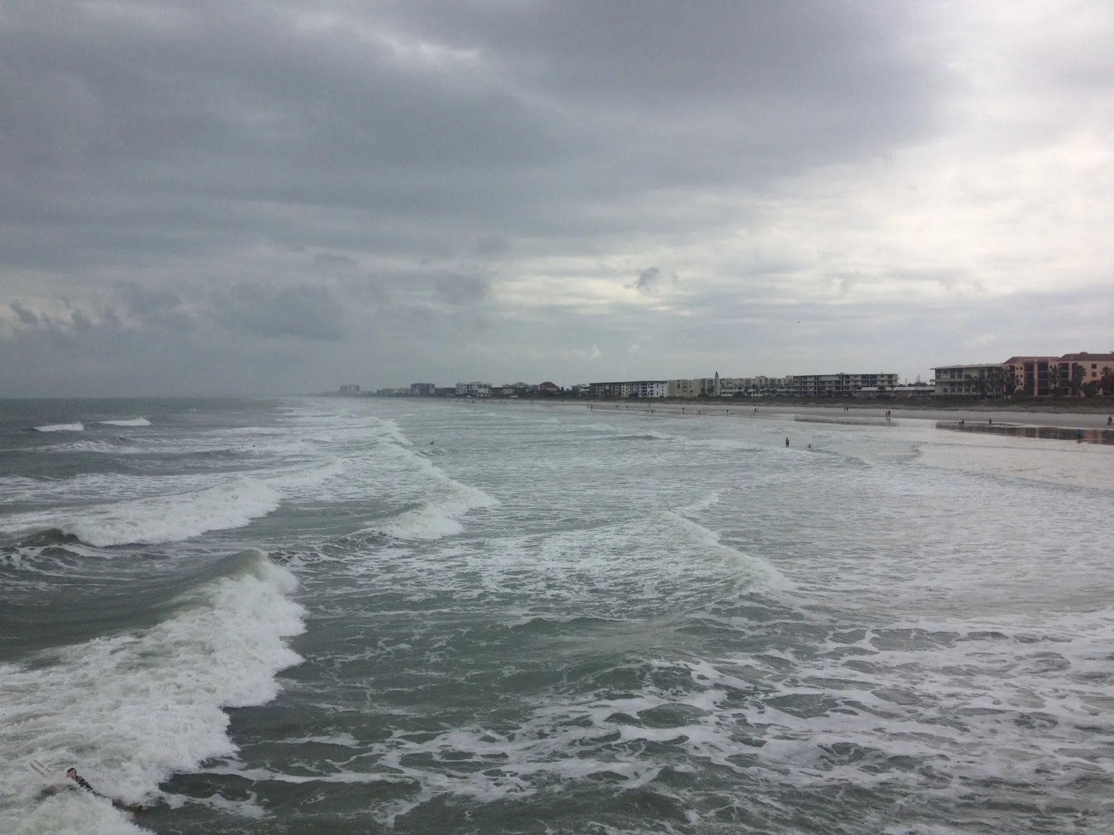
The coastal flood warning has ended. A minor flood advisory runs to 2 p.m. Friday, Oct. 30, and the NWS keeps a high rip current risk at Brevard beaches through late Sunday.
Updated Oct. 30: the coastal flood warning is no longer in effect. The National Weather Service in Melbourne issued a lesser coastal flood advisory early Friday for “minor coastal flooding” of low-lying lots, parks and roads near the shoreline until 2 p.m. Friday, Oct. 30. A high rip current risk stays in place at Brevard beaches through late Sunday night. The rest of this story is as published Oct. 25.
A coastal flood warning covers Melbourne and the rest of Brevard County until 2 a.m. Wednesday. The National Weather Service in Melbourne says saltwater flooding will reach low-lying roads, lots, docks and yards near the ocean and the Intracoastal Waterway.
The weather service issued the warning early Sunday and renewed it at 3:16 p.m. It runs alongside a high surf advisory and a high risk of rip currents at every beach in the county.
What the weather service is warning about
The warning text lists:
- Coastal flooding: “significant coastal flooding” until 2 a.m. Wednesday
- High surf: breaking waves of 7 to 12 feet in the surf zone, until 2 a.m. Wednesday
- Rip currents: “life-threatening rip currents” through late Tuesday night
- Impacts: coastal roads may close, low-lying homes and businesses may be flooded, and “significant shoreline erosion will occur”
The warning covers both mainland Brevard and the barrier islands, which include Melbourne Beach, Indialantic, Indian Harbour Beach and Satellite Beach. A wind advisory for northeast gusts of 35 to 40 mph also runs until 8 a.m. Monday.
Why now
Two things are lining up. Strong high pressure over the eastern U.S. and a stalled front near the Bahamas are driving a steady northeast wind onto the coast. That wind arrives during a stretch of high astronomical tides.
The weather service said in its Sunday afternoon forecast discussion that the Trident Pier tide gauge at Port Canaveral, about 23 miles north of Melbourne, crested at 2.84 feet above the average daily high-tide mark on Sunday morning. That reached moderate flood stage. The office expects “additional higher crests” at the Monday and Tuesday morning high tides.
When the water is highest
NOAA’s tide predictions for Trident Pier put the morning high tides here:
| Day | Predicted high tide |
|---|---|
| Monday, Oct. 26 | 8:16 a.m. |
| Tuesday, Oct. 27 | 9:04 a.m. |
| Wednesday, Oct. 28 | 9:53 a.m. |
Tide times along the Indian River Lagoon in Melbourne run later than at the ocean pier, and wind can push water higher than the prediction. The weather service named the Monday and Tuesday morning tides as the ones to watch. The Wednesday tide falls after the warning ends.
Seas offshore are forecast at 9 to 15 feet, with gale warnings for boaters. The weather service expects hazardous beach and boating conditions “through much of the week,” with onshore wind and high tides continuing toward the weekend.
What it means for you
- Do not drive through water on the road. The weather service said not to drive around barricades or through water of unknown depth.
- Stay out of the ocean. The weather service said entering the surf “is strongly discouraged” and that swimmers should stay out of the water.
- If a rip current catches you, relax and float, do not swim against it, swim parallel to the shore if you can, and face the shore and wave for help if you cannot.
- Check docks, boats and anything stored low near the lagoon before the Monday and Tuesday morning tides.
- Live outages and road closures: see our power outages page and our road closures page. For live conditions, use FL511 or call 511.
The full set of current alerts for mainland southern Brevard is on the National Weather Service alerts page for zone FLZ647. Our hurricane and storm prep page lists the county’s emergency contacts.
The warning has since ended. See the update at the top of this story for the advisories in effect now.
Have your say